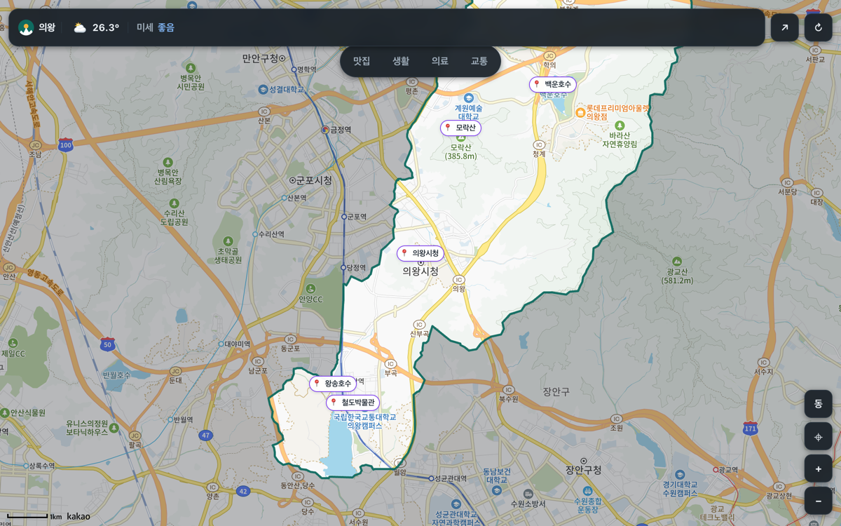
Uiwang Inside — daily life in Uiwang, on a single map
Instead of checking the weather in one app, buses in another and traffic somewhere else, this puts them all on one map. It is a local information portal that shows what is happening in Uiwang, South Korea right now.
Find things on the map
Pan around the map to explore what is nearby within a given radius. Filter by category: schools, hospitals, pharmacies, supermarkets, convenience stores, banks, parking, petrol stations, subway stations, public offices and cultural facilities.
Live information
- 🌤️ Weather — current temperature, humidity, wind and precipitation plus an hourly forecast, sourced from the Korea Meteorological Administration. Hours that have already passed drop off automatically.
- 🚨 Incidents and congestion — accidents, roadworks and closures along with segment speeds, from Korea's national traffic information centre (ITS).
- 🚌 Public transport — how many minutes until the next bus at stops near the centre of the map.
- 📰 News — recent news about Uiwang, gathered in one place.
Everything refreshes on its own — buses every 30 seconds, traffic every 60 seconds, news every 5 minutes and weather every 10 minutes.
When it comes in handy
- Checking today's weather and road conditions together before you head out
- Seeing how long until the bus arrives before walking to the stop
- Scanning where the hospitals, pharmacies and supermarkets are before moving to or visiting the area
FAQ
Q. Can I use it outside Uiwang? A. It is built around Uiwang, so the information is tuned to the city and its immediate surroundings. Other areas may not have enough data.
Q. Do I need an account? A. No. Open the link and start using it.
Q. Bus arrival times differ slightly from reality. A. The estimated arrival data comes straight from Gyeonggi Bus Information, so it can drift depending on road conditions.
Q. Does it work on a phone? A. Yes — the map and live information work the same in a mobile browser.